
calm · 37 Strait · Persian Gulf ↔ Gulf of Oman
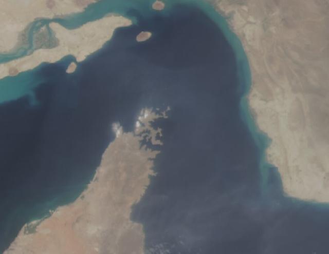
Strait of Hormuz
Persian Gulf
Why it matters: Roughly a fifth of global oil passes here; recurrent tanker seizures and GPS jamming.
Local map · live AIS
under way slow stationary
Fused signal timeline · 21 days
💨 4.6kt · calm-smooth transit favourable
No dated open-source events in the last 21 days for this box.
Assessment
Strait of Hormuz is showing conditions near its structural baseline; open-source coverage is holding steady. No recent open-source reporting was retrieved for the box. Metocean: 4.6 kt wind, 0.28 m seas — transit favourable.
What changed
- ›Conditions: 4.6 kt / Bft 2, seas calm-smooth — favourable for transit.
- ›No other material change in monitored feeds.
- ›No other material change in monitored feeds.
Metocean conditions
Wind4.6 kt
Gusts13.6 kt
Beaufort2
Wave ht0.28 m
Swell0.16 m
Visibility25.5 km
Sea statecalm-smooth
Transit favourable
Open-Meteo, box centroid, at build time.
Updated 7 Sept 2026, 10:21 UTC · narrator: rule-based · bbox [55.4, 25.4, 57.6, 27.1]